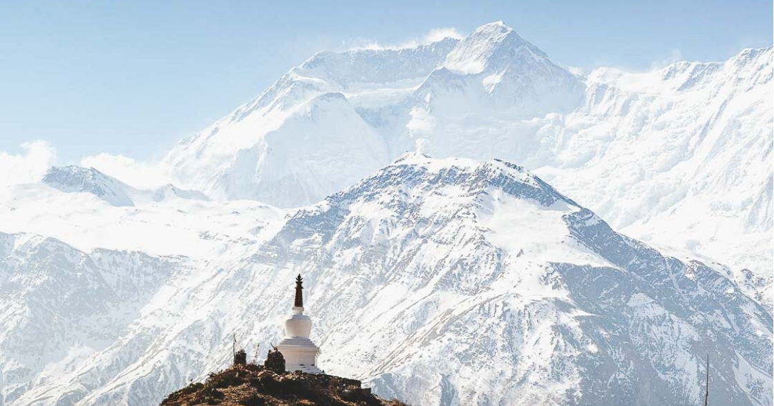
Annapurna Rural Municipality is surrounded by Machhapuchchhre Rural Municipality on the East, Myagdi district on the West, Manang District on the North and Parbat district and Pokhara Metropolitan City on the South with a total area of 417.74 km2 (161.29 sq mi) and the total population of 23,565 individuals according to Nepal census 2011 (2068 BS). The population density of this Rural Municipality is 56.411/km2 (146.103/sq mi). This Rural Municipality is divided into 11 wards. This rural municipality lies 4528 feet above from the sea level. The Mid-Hill Highway(Pokhara-Baglung Segment) goes through the center of this Gaupalika.
The programme will pursue to use knowledge, skills and experiences of those youth rendered jobless at home and abroad due to COVID-19 crisis and to make such force self-employed and eventually make the village self-sufficient in agriculture, according to Rural Municipality Chair Yubaraj Kuwar.
Under the programme, pocket areas for vegetables, fruits and cash crops farming will be declared on the basis of potentiality of available agricultural land, production of both off-season and seasonal fruits and vegetables will be promoted and the modernization, specialization and commercialization of agriculture will be sought as manifested in the local government’s policies and programmes for the upcoming fiscal year.
One house one tunnel, establishment of a chilling center at wards having potentiality of agriculture, of an agricultural produces collection and marketisation will take place under the programme.
Besides, it adheres to the policy of promoting and expanding coffee zone, cardamom zone and orange pocket area programmes being implemented as crash crops special zone programmes in coordination with the State government.
Besides, small irrigation programmes will be prioritized and implemented to increase production and productivity.

